
Tropical Depression Could Form This Weekend Near The Bahamas - 7/31/24 - 11AM EDT
we are still monitoring a tropical wave that has made its way near the ne caribbean. there’s still a 60% chance of development through the next 7 days. the nhc states a tropical depression could form this weekend any where in the orange shaded region below.

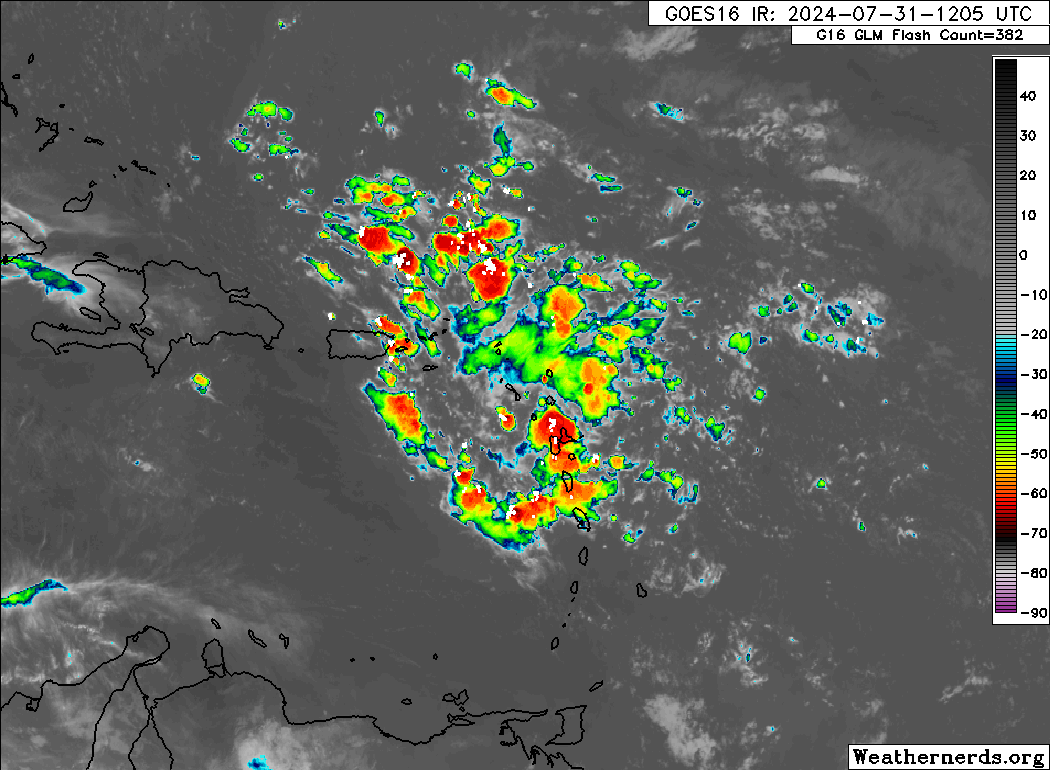
The wave is finally producing some showers and thunderstorms over portions of the eastern Caribbean. It has been bone dry with hardly any convection the last few days as dry air engulfed it. its Entering a more favorable environment for sure.
the EURO ensembles remain consistent with a developing system this weekend near the northern Bahamas. This model suite mainly turns it NE before it reaches FL and perhaps grazing NC. We shall see. Low confidence in our OPINION at this point in time.


The GFS operational model is the outlier with development in the eastern Gulf SUN/MON. The GFS has a stronger Atlantic ridge over bermuda which helps get this into the Gulf on this model. All other models have a weaker ridge, hence the North/northeast turn east of FL. its the Least likely solution here, but not entirely impossible.

the nhc has yet to bump development chances into the high category due to the uncertainty with this system and disagreement from the models. all we know for now is the ENVIRONMENT ahead is more favorable, the waters are warm and there’s land ahead so we will continue to watch this one closely. no reason to disagree with the nhc at this point. all interests in the Bahamas, fl, and the se u.s. coast should monitor the progress of this system over the next 7 days. we will have another written update as the forecast changes.
If you are not already a premium graphics subscriber, sign up today and get higher-resolution storm graphics that contain more information so you can make informed decisions. It also helps support our app since we now offer it free. We want to be around for a long time!
Premium users will also have access to wind graphics that the NHC does not publish. Details & sign up here > Premium Graphics Info.
Thank you for being a Hurricane Tracker App user and supporting our passion for tracking tropical cyclones!

Example track map on Beryl from our premium graphics section.