
NHC Tags Area of Low Pressure With Low Development Chance (10%)
4/24/24 - 4PM EDT Update: We mentioned this system in a post this morning (see below). Now, the NHC has tagged it as our first system of the year with a chance of development at 10%. Highly unusual for April. Additional development is not expected as it will move into an area with high wind shear over the next 24-48 hours. Click on the “Outlook” tab below to see outlooks issued by the NHC.


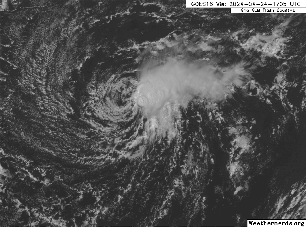
4/24/24 - 1:15 PM EDT: We are sending out this post because we have our first swirl of the “season”, even though it’s only April. We have an interesting area of low pressure with a closed circulation, persistent convection and winds likely 30 mph+ in the open east Atlantic. The NHC has not designated this system and is unlikely to do so since were are only in April. It’s possible they could designate it in their post-season analysis as they have done before with a few systems that got going before June 1st. However, this is a definite reminder that conditions out there are already more favorable than they should be for this time of year and that the season is not far away. It’s April 24th and the season is trying really hard to get going. Hurricane season officially starts in 38 days on June 1st. The eastern Pacific season starts in 3 weeks on May 15th.

The season will officially kick off on June 1st for the Atlantic and May 15th for the Eastern Pacific. If you are not already a premium graphics subscriber, sign up today and get higher resolution storm graphics that contain more information so you can make informed decisions. Premium users will have access to wind graphics that the NHC does not publish. Details here > Premium Graphics Info.
Thank you for being a Hurricane Tracker App user and supporting our passion for tracking tropical cyclones!

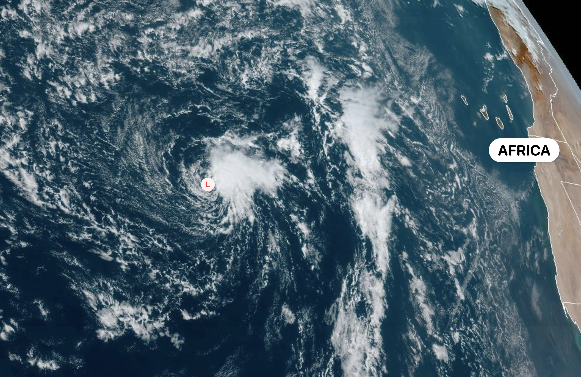
Premium Graphics tracking map example.