6/26/24 - Tracking Invest 95L In The Atlantic
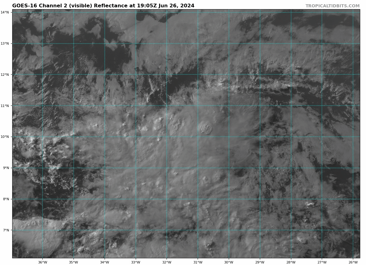
The tropical wave we mentioned yesterday in the Atlantic has now been designated Invest 95L by the NHC. This system currently has a 40% chance of development according to the latest hurricane center outlook. We expect by tomorrow evening this system will be “code red” with a high chance of development. Model guidance is even more bullish today and developing the system and tracking it towards the Lesser Antilles early next week. We could see impacts from a tropical storm or maybe even a hurricane sometime between July 1, and July 4 across portions of the eastern Caribbean Sea. We have issued our 5 day alert levels in the app and have posted it below. For premium members, in the premium section, we have issued our 7 day impact chances and will update those daily based on new information. It is unusual to see guidance be so bullish for a tropical wave out in the main development region for the end of June, but conditions are favorable and the waters across the Atlantic Ocean are running a few degrees above normal, so it's not surprising. We have been talking about this since February. It is way too soon to speculate if the system will traverse the Caribbean or reach the Gulf of Mexico. However, we can say at this time with current guidance, we do not see an easy path for this system to recurve into the Atlantic Ocean. While, that is still possible, I would not say that's the likely scenario at this point. So, this system will need to be watched as tracks west and we will be back with another update as conditions warrant. If you have interests in the Lesser Antilles or the east Caribbean Sea, please check the app daily to get the latest information to stay up-to-date with the latest on this invest. Thank you for using the Hurricane Tracker App.