
Delta Beginning to Restrengthen in the Gulf of Mexico
After making landfall south of Cancun this morning and moving over the northeastern Yucatan Peninsula during the midday hours, Delta is back out over water this evening in the Gulf of Mexico. The storm has lost its tiny inner core and the associated extreme winds, but it remains no less dangerous to folks along the Gulf Coast.
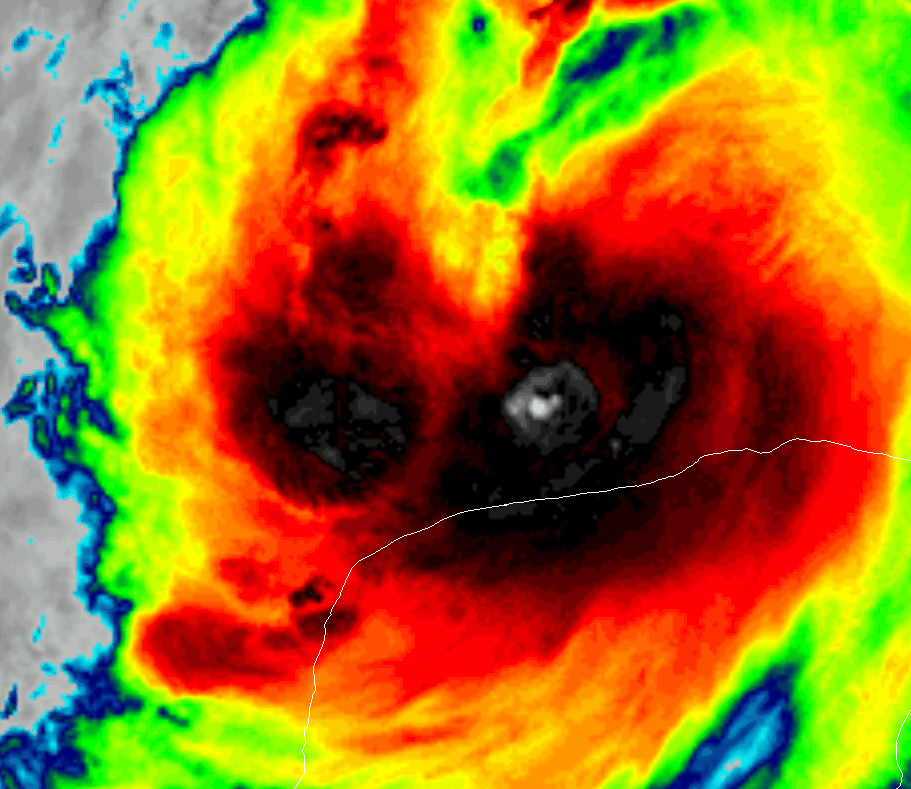
Satellite imagery shows plenty of intense thunderstorm activity developing on the southern side of Delta’s eye this evening. If those “hot towers” can wrap around to the northern/eastern side of the system, it will be able to strengthen a bit more quickly. That said, the storm’s circulation is much bigger now so I don’t think we’ll see any extreme rapid intensification like we did yesterday.
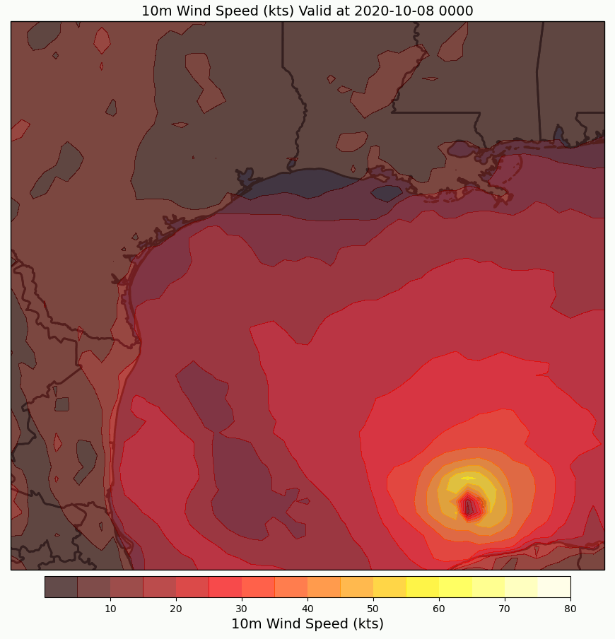
As the storm moves through the Gulf of Mexico in the next couple days, it will both strengthen and expand in size. That means that a larger swath of the coastline will see strong winds, and the storm will be able to generate a larger storm surge. Both surge and winds will pose serious concerns for Louisiana, especially central and western portions of the state closer to the point of eventual landfall which should be somewhere near Cameron Parish based on current forecasts.
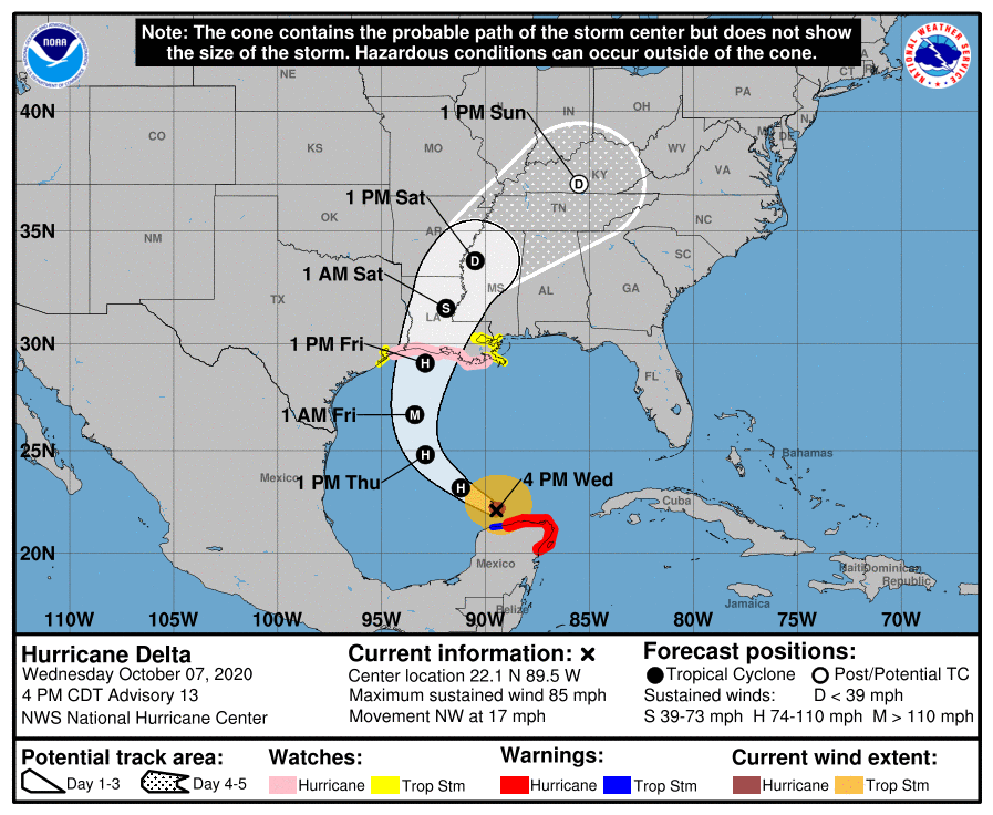
Here’s a look at the official NHC forecast calling for a steady N/NE bend in Delta’s track over the next couple days before landfall occurs Friday afternoon. It should be noted that while we’re pretty confident about where the storm will make landfall, there’s a bit more confusion about when exactly it will make landfall Friday afternoon, Friday night, or Saturday morning. Either way, plan on having all your preparations complete on Thursday.
-Jack