8/18/23 - 10AM EDT
We have lots to watch in the Atlantic over the coming days and we wanted to give our users a breakdown of the 4 systems in the Atlantic the NHC is monitoring. We also have Major Hurricane Hilary in the eastern Pacific that is headed towards the Baja Peninsula and portions of the SW U.S. See below.

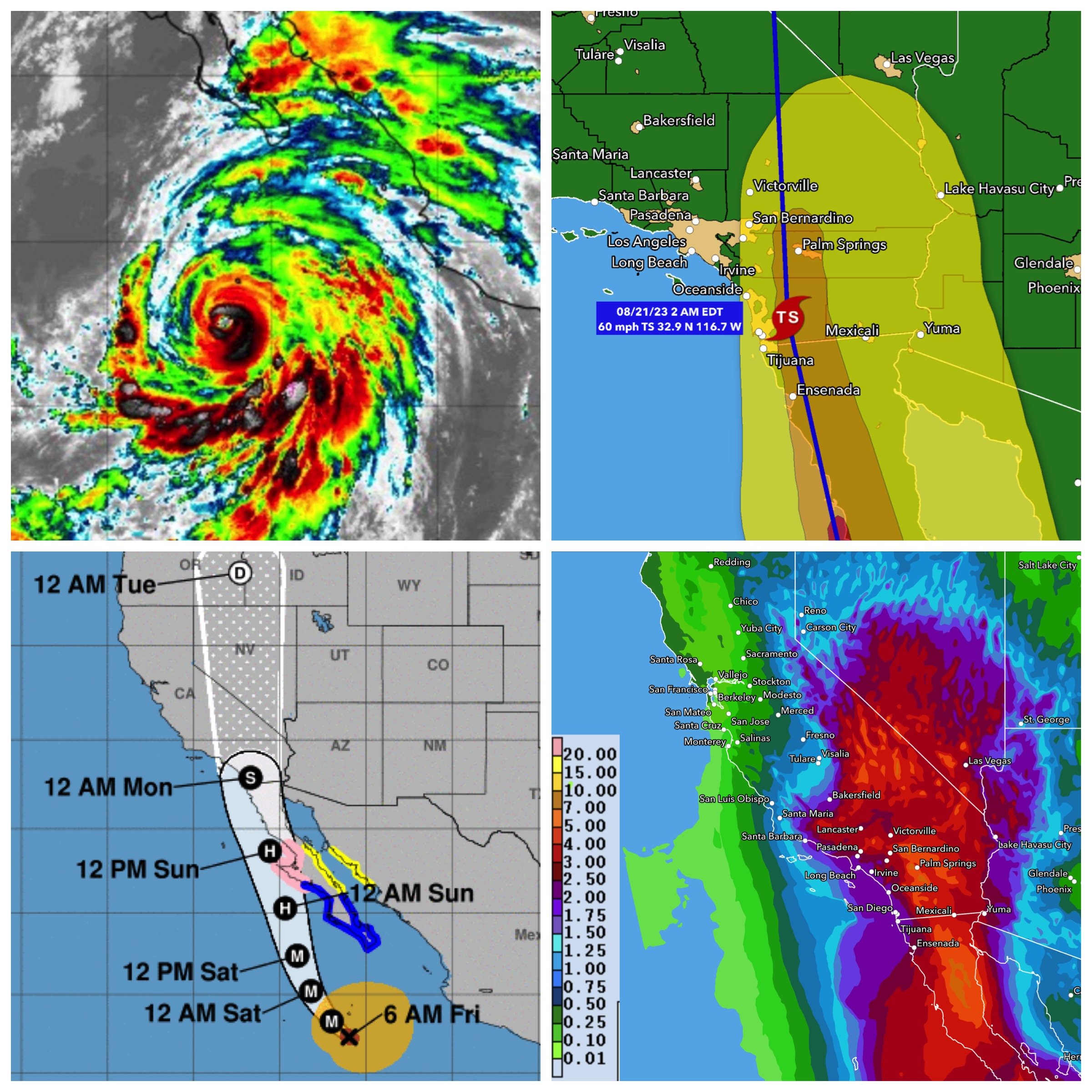
Hilary - Hurricane Hilary is a large and powerful major category 4 hurricane today with winds near 145 mph. Multiple watches and warnings are in effect for portions of the Baja Peninsula. Hilary will track toward the SW U.S. while weakening over the next few days. Heavy rainfall associated with Hilary is expected to impact the SW United States through next Wednesday, peaking on Sunday and Monday. Rainfall amounts of 3 to 6 inches, with isolated amounts of 10 inches, are expected across portions of southern California and southern Nevada, leading to significant and rare impacts. Winds may also be around 60 mph.
Possible Gulf Development - The NHC states there's a 30% chance of Gulf development early this coming week. Any development would be slow and track towards the middle to lower TX coast TUE/WED. Gulf waters are very warm, and we are watching this one very closely. This would most likely be a tropical depression or a moderate at best if development occurs. Chances as of now that it will become a hurricane are low. Stay tuned to this system if you have an interest along the western Gulf coastline.

Another area of low pressure could form in a day or so from a trough of low pressure located several hundred miles to the ESE of the Lesser Antilles. Some slow development of this system is possible over the weekend and into early next week as it moves generally WNW at 10 to 15 mph across the Lesser Antilles and into the northeastern Caribbean Sea. Development chances are currently at 30% per the NHC. Note: this is not Invest 99L - that system is located east of this one. All interests in the eastern Caribbean should monitor the progress of this system
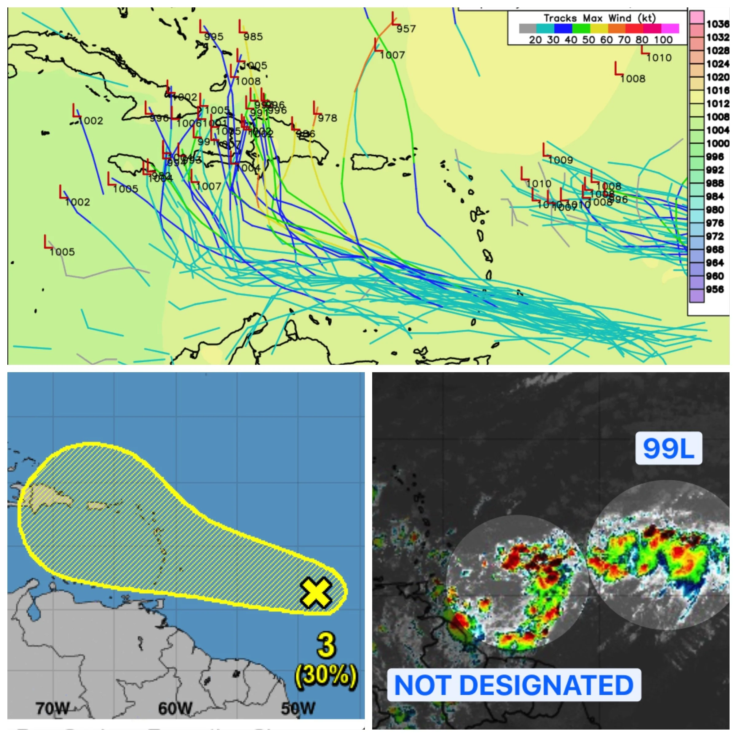
98L & 99L - Last but not least, we have Invests 98L & 99L in the tropical Atlantic. Invest 98L (the one closest to Africa) has a high chance of development and will likely become at least a tropical depression. 98L will not affect any land and only impact the season stats. Invest 99L only has a medium chance of development, and we're not really concerned this wave will even develop or affect any land. We will keep an eye on it and update you if there are any forecast changes.

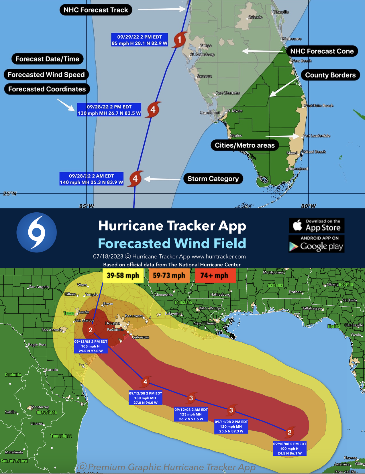
Get your premium graphics subscription today to track active systems in depth with included wind swath charts for tropical storms and hurricanes. More info here. Thanks for your support and for using Hurricane Tracker App.