
8/10/23 - 12PM EDT
Season may resume soon and updated NOAA forecast for 2023. Read below:
So far August has been quiet for the Atlantic due to stable dry air, but we are finally seeing hints that may change in 7-10 days as conditions may start the transition to allow the season to resume again. Here’s the 0Z EURO and 0Z EPS show more than one wave coming off Africa may have the ability to develop and track west or west-northwest. This potential is still a bit far out so we will keep an eye on it and update you as we get closer or if the NHC highlights our next area to watch.
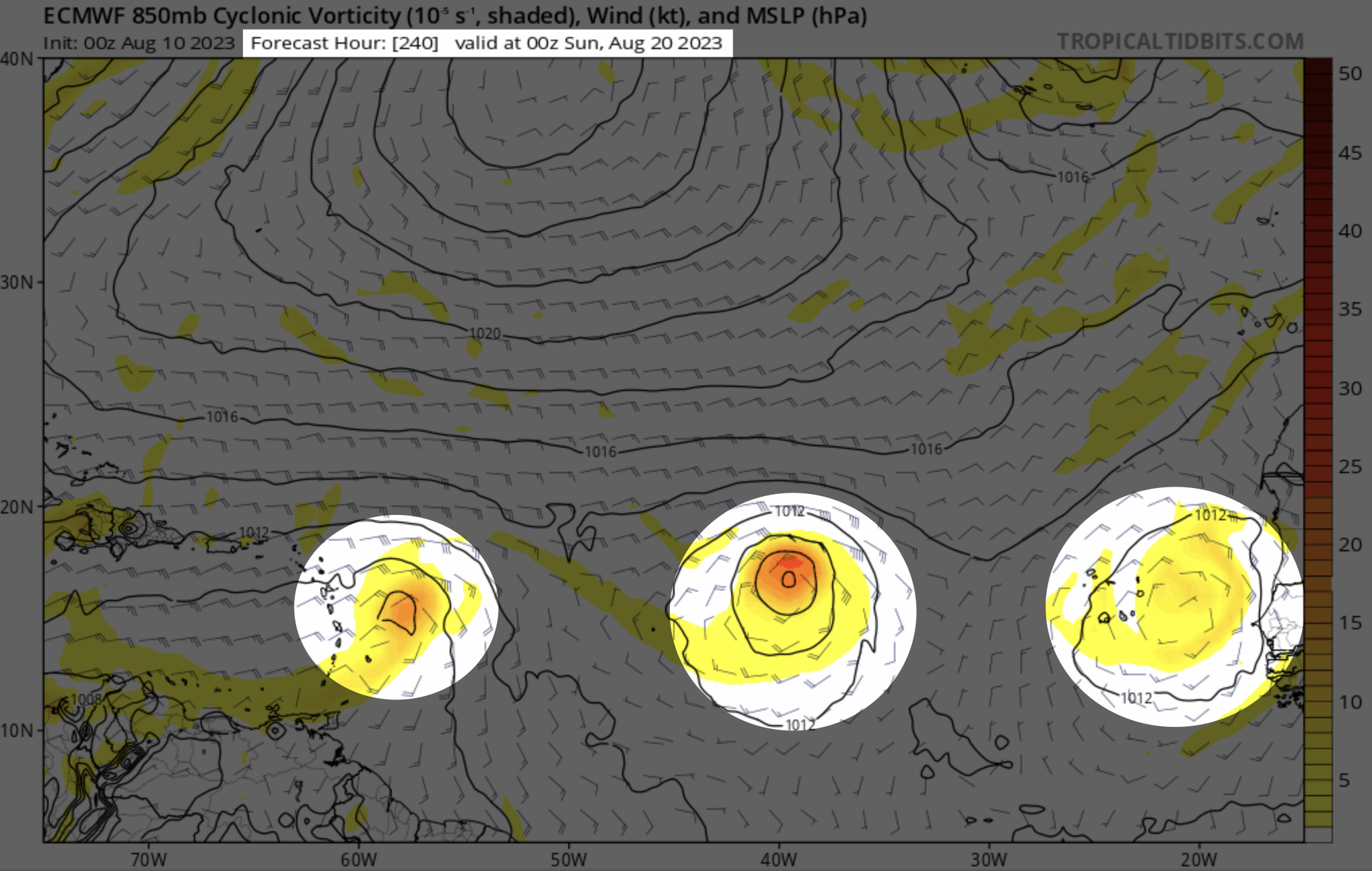
8/10/23 0Z EURO model valid for SUN 8/20/23

8/10/23 0Z EURO Ensembles through the next 10 days.
NOAA is now going with a 60% chance we end up with above normal activity in the Atlantic. Record Atlantic warmth, a below-normal wind shear forecast, slightly below-normal Atlantic trade winds and a near or above-normal West African Monsoon were also key factors in the forecast.


We’ve already had 4 named storms and one hurricane so based on NOAA’s forecast, we have 10-17 named storms and 5-10 more hurricanes between now and the end of the season.
Grab your subscription for our premium graphics service to track storms in better resolution and detail. Also, get wind forecast charts that are no longer produced by NOAA. This will come in handy between now and October. At the same time, you are helping us keep doing what we do! More information here. Thanks for using Hurricane Tracker App. (Sample images below)
