10/5/17 - TS Nate Has Formed & Is Headed To the Gulf Coast
Tropical Depression Sixteen strengthened into Tropical Storm Nate this morning. This storm will hit the United States this weekend. We have all the details below.
Tropical Storm Nate:
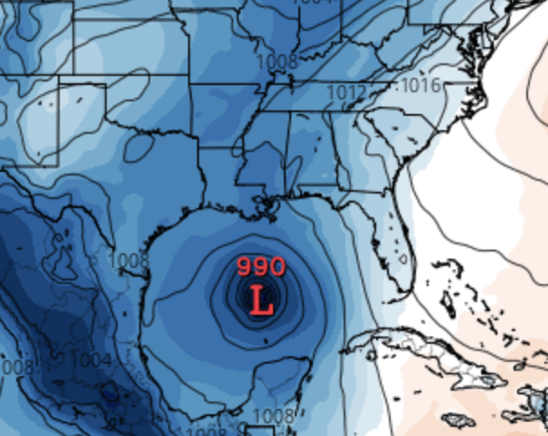
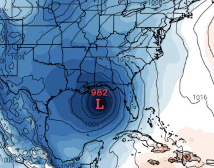
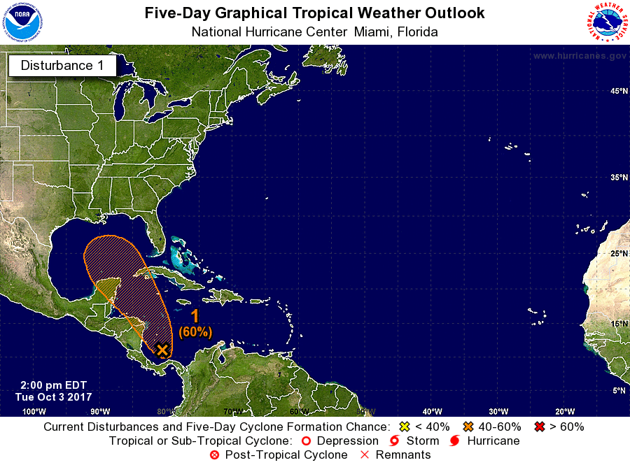
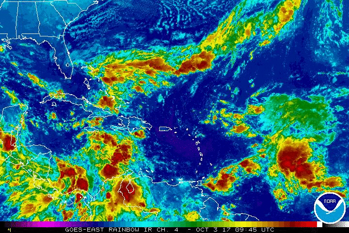
Nate is currently affecting Nicaragua and Honduras, making landfall and moving through these countries today. Heavy rain which may lead to flash flooding & mudslides will be the biggest concern in the short term. Tomorrow, Nate will move back over the water and likely intensify further as a tropical storm. It may move back over land briefly, affecting the Yucatan Peninsula, including Cancun, Friday night as a tropical storm. Then by the weekend, Nate will enter the Gulf of Mexico. There will be little wind shear that this tropical entity encounters while traveling over very warm ocean waters. These are two factors that are favorable for further intensification. At this time, the U.S. Gulf coast should closely monitor this storm, especially from Louisiana through the western Florida Panhandle. Chances are increasing that Nate will affect the Gulf Coast as a tropical storm or a Category 1 hurricane on Sunday.
The recent suite of hurricane models show much better agreement in terms of where Nate is headed. The UKMET and EURO models have shifted west towards the GFS. They all take Nate towards SE LA/MS/AL. It’s still early to discuss specific impacts for the U.S., but heavy rain, tropical-storm-force winds, and storm surge is appearing likely for some areas along the northern Gulf coast Sunday. It appears Nate's forward speed will increase once it reaches the Gulf of Mexico and this will help to keep rain amounts from getting too high. Faster moving systems drop less rain over one areas versus slow moving systems. Inland areas over the southeastern United States should also monitor the progress of Nate.

Alert Levels:
We have issued an ‘Imminent’ 5-day Alert Level for Nicaragua and Honduras and a ‘High’ level for the Yucatan Peninsula. In the United States, we put out an ‘Elevated’ Alert Level for SE LA/MS/AL.. This means that you should closely monitor the progress of Nate and begin thinking about your hurricane readiness plan.

We will have another update as conditions warrant. Thank you for using our service and application.
-- Jackson Dill, Hurricane Tracker Team