Hurricane Zeta Poses Yet Another Threat to the Gulf Coast
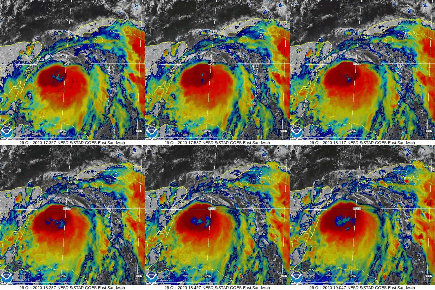
After a year of relentless tropical cyclone threats along the northern Gulf Coast, we have yet another cyclone taking aim at the region this week. Zeta, named over the weekend in the Caribbean, will follow a track somewhat similar to that which Delta took earlier in October. Also similar to Delta, the storm has rapidly intensified into a hurricane before making landfall in the Yucatan.
Satellite imagery shows intense thunderstorm activity near the storm’s center, which marks an improvement in organization from earlier today when the low-level center was completely removed from the storm’s convective activity.
After making landfall in the Yucatan tonight, Zeta will move into the Gulf of Mexico tomorrow. Caught between a large ridge over Florida and a winter storm over Texas, the storm will turn north and eventually northeast with landfall expected in Louisiana on Wednesday evening. The storm’s exact intensity at landfall is a little bit uncertain but residents in southeastern LA need to be prepared for the possibility of hurricane conditions as Delta comes ashore. That said, there’s some chance that increasing wind shear and cooler ocean temperatures might conspire to spare the coastline from the worst winds. Even if that ends up being the case, storm surge will still pose a significant threat especially to areas near and east of the point of landfall.
-Jack
Issued: 10/26/2020
