8/17/25 - Hurricane Erin Update
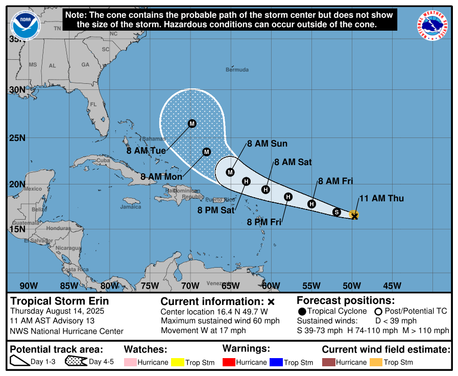
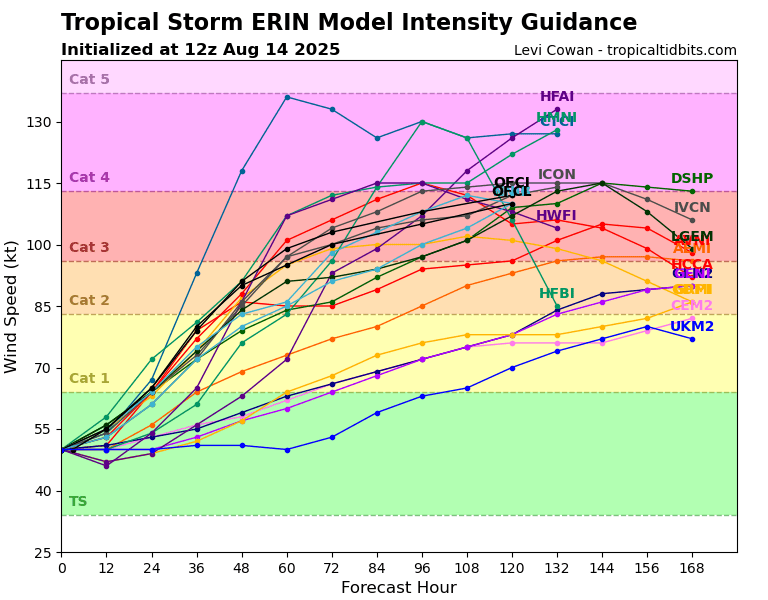
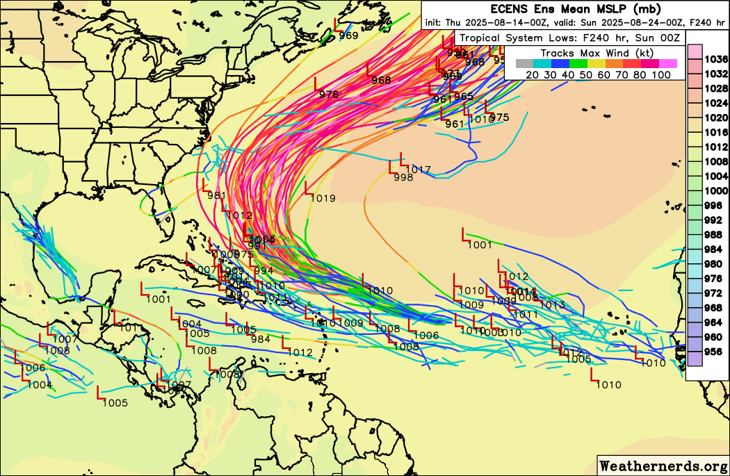
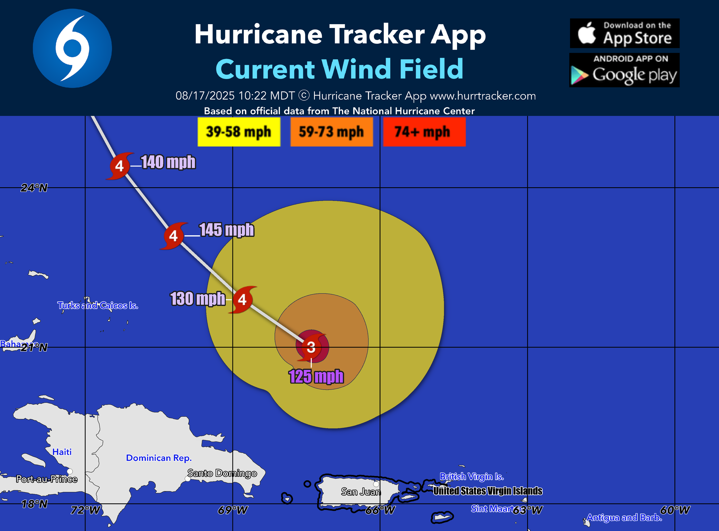
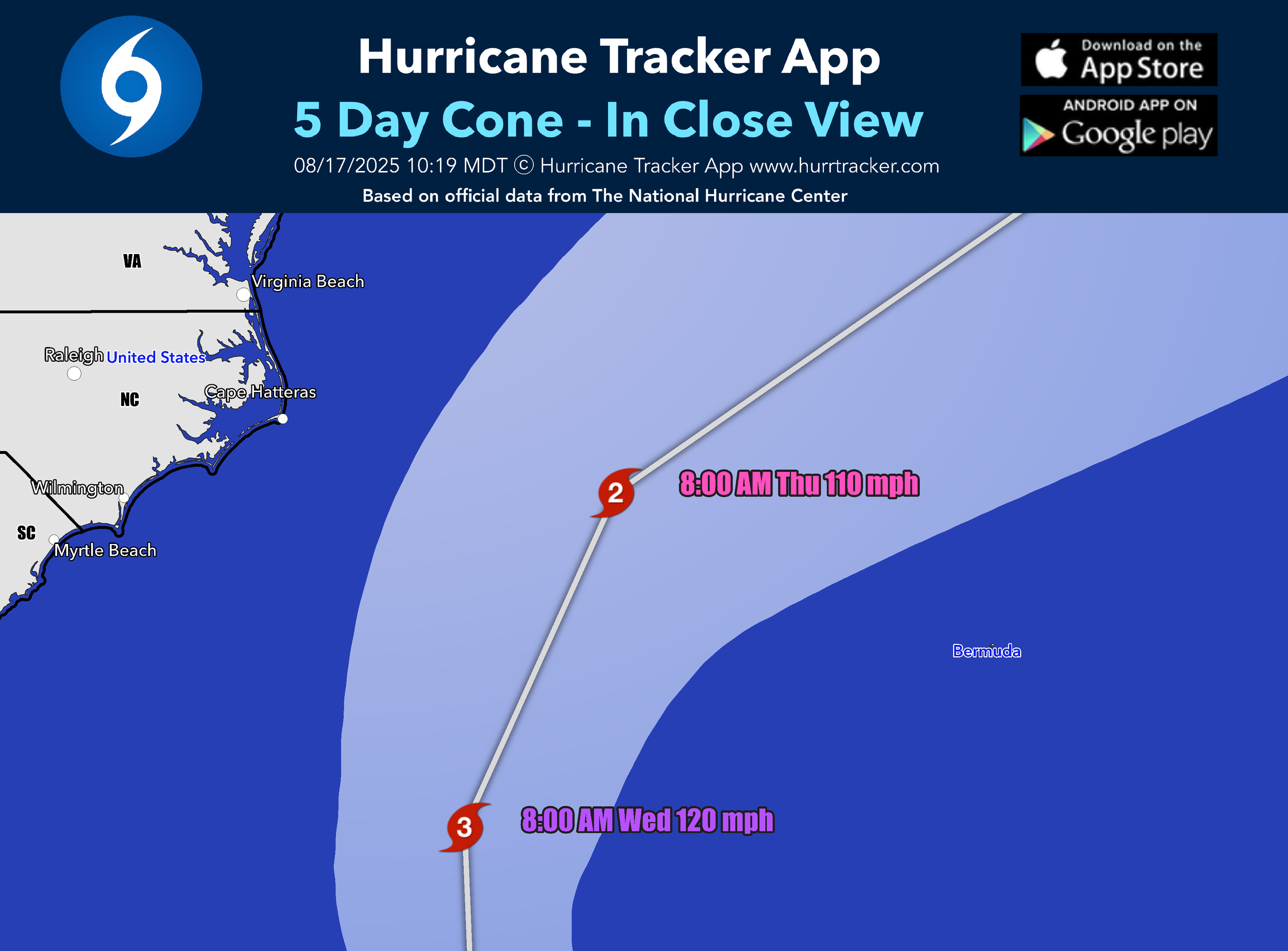
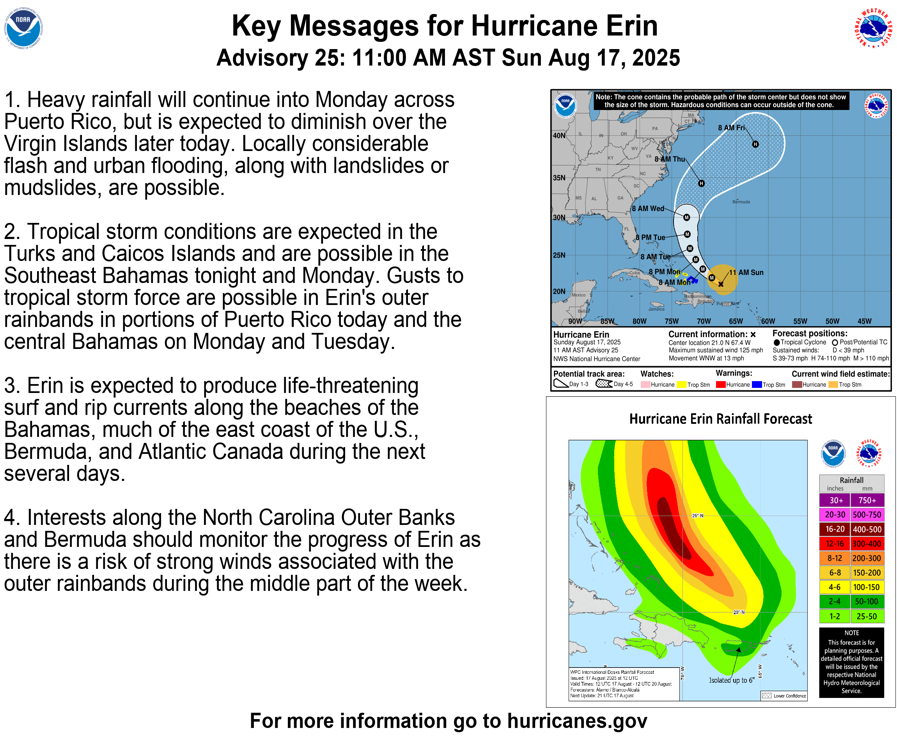
Hurricane Erin has weakened somewhat since becoming a powerful category 5 hurricane. As of this writing, winds are near 125 mph which makes Erin a category 3 major hurricane. The NHC does forecast Erin to become a category 4 storm as it turns NNE just east of the Bahamas tomorrow. Erin is then forecasted to turn to the north mid-week and weaken to a category 2 as it tracks between the U.S. east coast and Bermuda.
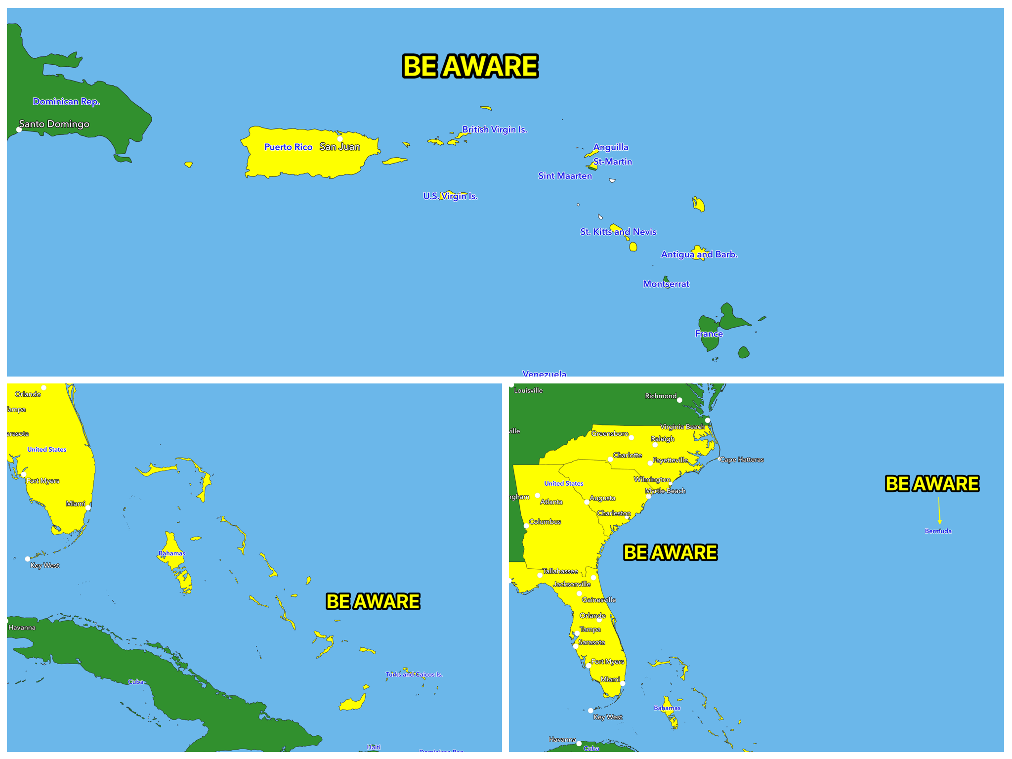
Erin is expected to produce life-threatening surf and rip currents along the beaches of the Bahamas, much of the east coast of the U.S., Bermuda, and Atlantic Canada during the next several days. Interests along the North Carolina Outer Banks and Bermuda should monitor the progress of Erin as there is a risk of strong winds associated with the outer rain bands during the middle part of the week. Thank goodness this powerful storm will not make landfall.
GO HI-RES! If you are not already a premium graphics subscriber, sign up today and take full advantage of what Hurricane Tracker has to offer. Details here > Premium Graphics Info. Thank you for being a Hurricane Tracker App user and supporting our passion for tracking tropical cyclones! We couldn’t do this without your support! 2025 will be our 15th year of tracking tropical systems!
Example image below of just one of our premium graphics offerings during an active storm.
Details here > Premium Graphics Info.
Thanks for your ongoing support and helping to keep this app active!