9/8/24 - Tracking PTC 6 In The Gulf. Could Impact TX & LA Midweek

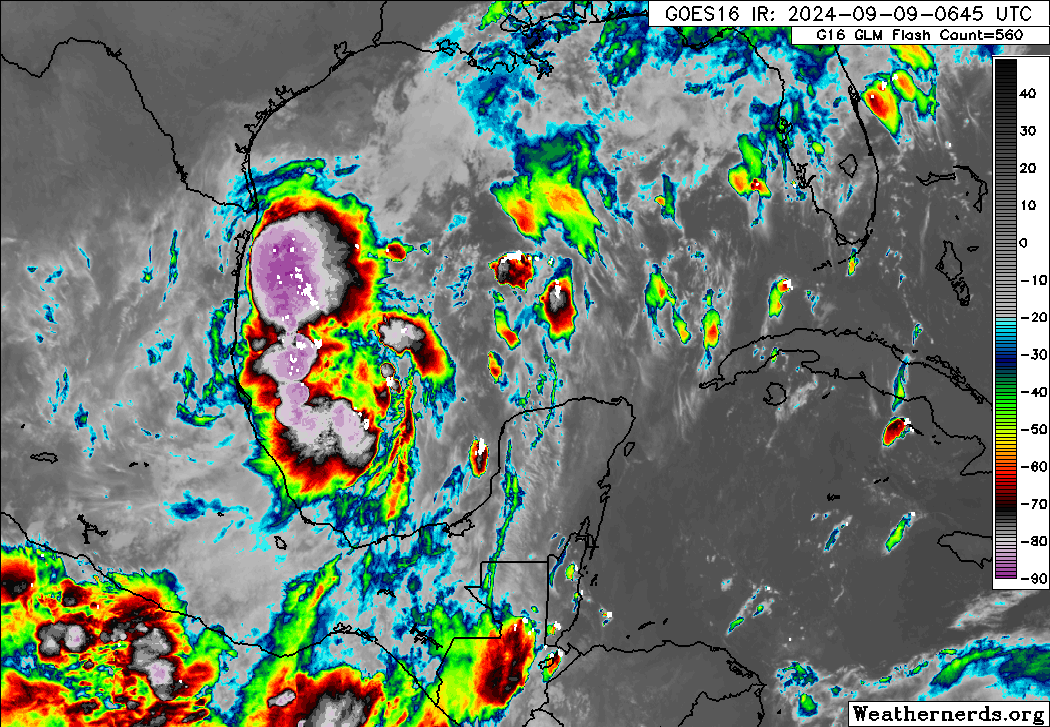
The NHC has initiated advisories on Potential Tropical Cyclone 6 as there’s a high chance it becomes the next tropical storm. PTC 6 will slowly organize and should become a storm sometime Mon or Tues. It will track slowly north-northwest towards the NW Gulf Coast with a landfall sometime Wed or Thu along the upper TX Gulf coast or SW Louisiana Gulf coast. There’s a decent chance this system could become a category 1 or 2 hurricane prior to landfall. Interests in TX and LA should monitor the progress of this system very closely the next few days as it tracks north. Always check the current storms tab below for the latest advisories and graphics. premium graphics ARE AVAILABLE EVERY 6 HOURS FOR SUBSCRIBERS.

If you are not already a premium graphics subscriber, sign up today and get higher-resolution storm graphics that contain more information so you can make informed decisions. It also helps support our app since we now offer it free. We want to be around for a long time!

Premium users will also have access to wind graphics that the NHC does not publish. Details & sign up here > Premium Graphics Info.

Thank you for being a Hurricane Tracker App user and supporting our passion for tracking tropical cyclones!

9/7/24 - Tracking Invest 91L In The Gulf

All interests along the Texas and Louisiana coastlines should monitor newly tagged Invest 91L in the southern Gulf of Mexico as the NHC states there’s a high chance it will develop. Models have latched onto this system and it’s likely to become our next depression or TS Francine and track towards the NW Gulf coast by mid-week. Environmental conditions across the Gulf suggest the chances of it becoming a hurricane is low at this time. Stay tuned for updates and always check the current storms tab below for all the latest information and models on 91L.

If you are not already a premium graphics subscriber, sign up today and get higher-resolution storm graphics that contain more information so you can make informed decisions. It also helps support our app since we now offer it free. We want to be around for a long time!

Premium users will also have access to wind graphics that the NHC does not publish. Details & sign up here > Premium Graphics Info.

Thank you for being a Hurricane Tracker App user and supporting our passion for tracking tropical cyclones!

8/31/24 - Central Atlantic Wave

We’re still monitoring the central Atlantic wave for any signs of development. The NHC states there’s a medium chance of development through 7 days. However, models have backed off on development early next week near the Lesser Antilles. This is good news for the eastern Caribbean as chances are low that it becomes a depression or storm once it passes through. We will still be watching this wave for potential development once it reaches the western Caribbean and Gulf of Mexico in about 7-10 days. models keep going back and forth. nothing is certain with this one. This wave is no immediate threat to land and if that changes we will let you know. keep up to date with this system in the outlook section below. Thanks for using the Hurricane Tracker App.

8/31/24 12Z European ensembles.

For a deeper analysis, check out our premium section where we post our own outlook and 7 day impact chances every afternoon. Details & sign up here > Premium Graphics Info

If you are not already a premium graphics subscriber, sign up today and get higher-resolution storm graphics that contain more information so you can make informed decisions. It also helps support our app since we now offer it free. We want to be around for a long time!

Premium users will also have access to wind graphics that the NHC does not publish.

Thank you for being a Hurricane Tracker App user and supporting our passion for tracking tropical cyclones!

View more info on premium here > Premium Graphics Info