5/22/18 - Invest 90L May Develop In The Gulf This Week

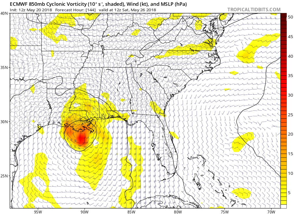
The 2018 Atlantic Hurricane Season is off to an early start as we are now tracking Invest 90L in the SW Caribbean Sea. The NHC states this system has a 40% chance of developing over the next 5 days as it tracks to the north. This will NOT become a hurricane or a strong system, but rather a wet, messy tropical or sub-tropical depression or storm. The first name on the list this year is Alberto. Regardless of development, the main concern with this system will be heavy rainfall with the potential of flooding in the Southeast from LA to FL later this week and into the holiday weekend. Stay tuned here for updates.

Click here to listen to our latest audio update.

Our next discussion will be posted on Wednesday, May 23rd. 

Heavy rainfall with flooding potential from SE LA to Florida is the biggest threat with this system.

Heavy rainfall with flooding potential from SE LA to Florida is the biggest threat with this system.

5 Day Alert Levels from the Hurricane Tracker App

5 Day Alert Levels from the Hurricane Tracker App

5/20/18 - First 2018 Tropical System Possible Later This Week

Model guidance today highlights some disagreements, although it's worth noting how the ECMWF and CMC models both bring a tropical cyclone with pressures below 1000 mb into the Gulf Coast Saturday night. Meanwhile, the GFS takes a very weak low into Florida. A strong system is not expected, but rather a weak, wet system could be on tap for portions of the Gulf Coast and FL later this week. 

IMG_3324.JPG

In fact, the last 4 runs of the European have been consistent in showing a relatively weak system affecting the northern Gulf coast this upcoming holiday weekend. This is not a forecast, we are monitoring trends and will keep you updated this week. Stay tuned to the Hurricane Tracker App for updates.

Click here to listen to our latest audio update.

ezgif.com-gif-maker.gif