9/4/17 - Powerful Hurricane Irma Tracking Towards the Lesser Antilles & Possibly the Bahamas/U.S. Late Week
Overview - Irma is a powerful hurricane located in the Atlantic Ocean well east of the Lesser Antilles today. The NHC forecasts that Irma will strengthen even further over the next few days as it tracks towards the northern Lesser Antilles. Unfortunately, this will be a major hurricane (Cat 3+) for the majority of its lifetime as it's in a very favorable environment and tracking over above average waters in the Atlantic. This is a hurricane we will likely be tracking for the next 8 to 12 days.

Watches/Warnings - Hurricane watches are in effect for portions of the Lesser Antilles. See image below:

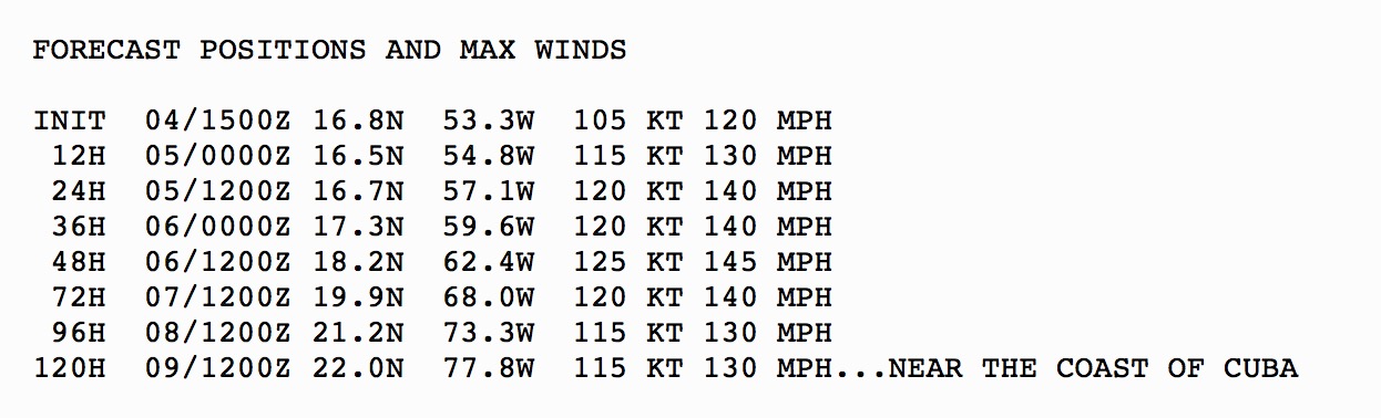
Intensity - Irma will be tracking through a favorable environment with increasingly warmer waters and high ocean heat content. We really don't see anything to keep Irma from being a major hurricane throughout it's entire lifetime. Intensification into a high-end Category 4 storm may occur within a couple of days before impacting the Lesser Antilles & Puerto Rico. Below, is the current intensity forecast by the hurricane Center.
Track (Short Term) - Irma is tracking west-southwest as a ridge of high pressure is building to the north of the storm . The core of the hurricane which contains the strongest winds and most intense rain, will likely pass just to the north of the Lesser Antilles, Virgin Islands and Puerto Rico mid-week, but a direct impact to these areas is possible. These regions are within the cone of uncertainty and could experience tropical storm force winds and even hurricane force winds. Exact impacts will be better known in a couple of days. Remember, if you are in the cone of uncertainty you are at risk of a direct hit and should not assume the core of the hurricane will miss you to the north. Anyone in the NHC cone should prepare for Irma and make sure they have a hurricane kit and a plan in place if watches or warnings are issued.

Track (Long Term) - Beyond Wednesday, there’s great uncertainty as to where Irma will track. The hurricane is forecasted to be located between a strong upper level ridge of high pressure in the Atlantic and an upper level trough that will be progressing across the eastern United States next week. The southerly flow between these two weather systems will likely help pull Irma towards the north later next week. When and where this exactly occurs, cannot be forecasted at this time with with any high amount of accuracy. Computer models are showing an increasing long-range threat to the Bahamas and the U.S. east coast compared to runs from a day or two ago. We want to stress, while the storm could still re-curve out into the open Atlantic, we do not currently see a “door” wide enough for Irma to escape out to sea. While low, we also cannot rule out a more southerly track towards Cuba and then into the Gulf of Mexico. We will likely have a better idea on Irma’s long-range track in about 3 to 4 days. Please see our current 10 day long-range map below for our current thinking. This is updated at least once a day in the Hurricane Tracker App. All residents and interests from the Florida keys to New England should closely monitor the progress of Irma over the next several days

The yellow arrows represent the possible paths of now.

Our 10 day risk potential map

Latest GEFS ensemble model plots. Threat to the Bahamas & U.S. is increasing per the latest computer model guidance.
.Alert Levels - We have issued “High” Alert Levels for portions of the northeastern Lesser Antilles, including Puerto Rico. Please review our key below for recommended actions to take based on the alert level issued for your area:


Conclusion - Irma will affect the Leeward Islands & Puerto Rico Tue/Wed and will need to be watched as a potentially significant threat for the United States and the Bahamas in about 5 to 9 days. Stay tuned here at the Hurricane Tracker App is our team will keep you up-to-date on this powerful hurricane and its future.